
GPX Route Planner
Create Your Route Online and Export It as a GPX File
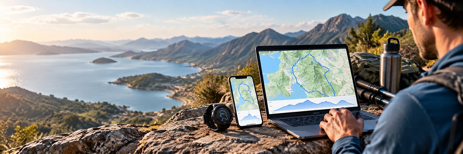
Plan a route for running, walking, hiking or cycling with Map My Distance.
Choose where you want to go, build your route on the map, measure the distance, check the elevation and save it to your account.
Running
Cycling
Walking
Hiking
Events
What Is a GPX Route Planner?
A GPX route planner lets you create a route on a map and turn it into geographic route data that can be used by other compatible devices and apps.
GPX stands for GPS Exchange Format.
It is commonly used for sharing route information between mapping platforms, GPS watches, cycling computers and navigation apps.
With Map My Distance, you can create the route visually first.
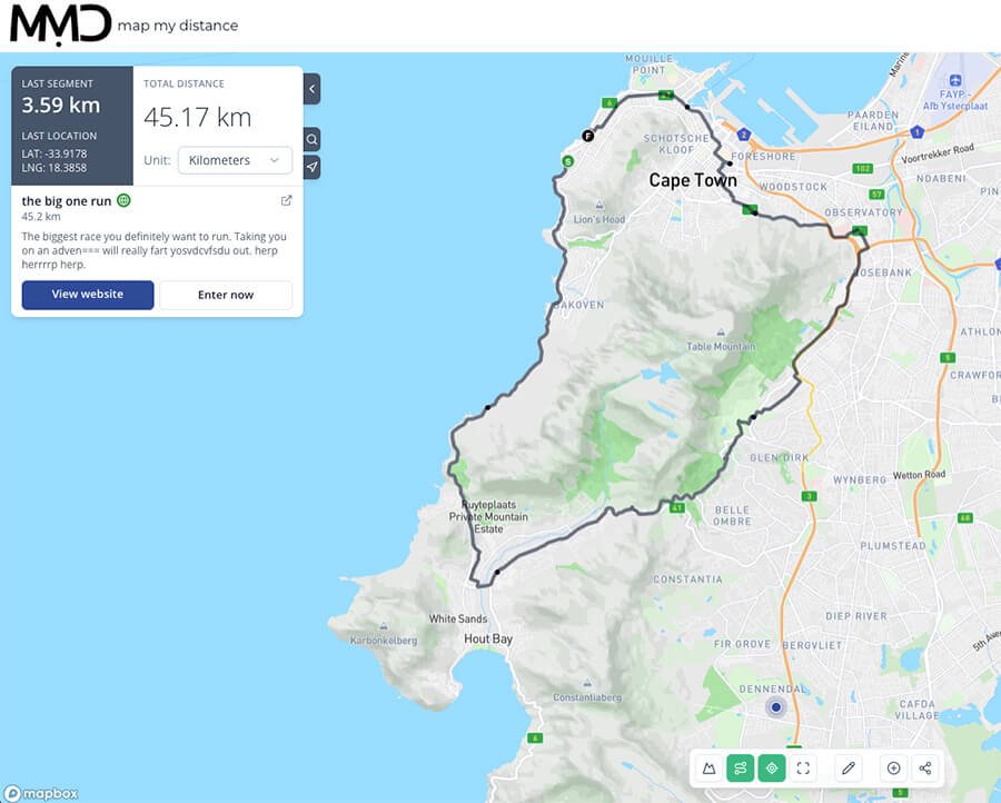
You can see exactly where the route goes, adjust it, check its distance and inspect the elevation before deciding whether you want to export it.
This makes GPX useful for everything from a short run around your neighbourhood to a long mountain hike or cycling trip.
Create a GPX Route Online
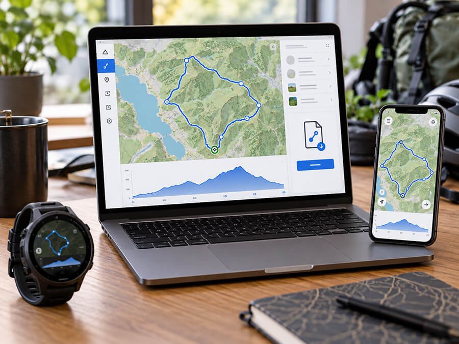
It’s simple to plan, check and export your GPX route with Map My Distance (pro version).
Choose Your Starting Point
Search for a location or move around the map to find where you want your route to begin and start placing your route.
Build Your Route on the Map
MMD connects your route as you plan, allowing you to adjust it until you are happy with where it goes.
Check Your Total Distance
This makes it easy to build particular distance, whether you want a 5 km walk, a 20 km trail run or a 100 km cycle.
Check the Route Elevation
View the route elevation profile to understand where the major climbs and descents are, and Share it to friends.
Save and Export Your Full Route
Save and export the file then use the GPX file with compatible GPS devices. GPX export is an MMD Pro feature.
Plan Routes for Running, Hiking, Walking and Cycling
Create routes for any outdoor activity. Map My Distance is designed for runners, hikers, walkers and cyclists and more! With all the tools you need to plan and explore your next adventure.
Walking Routes
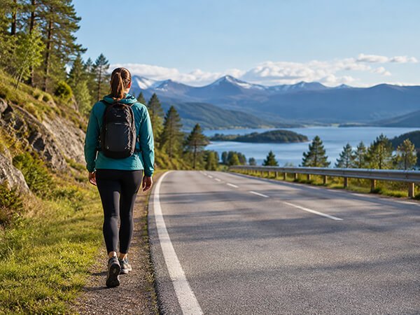
Create walking routes around your neighborhood, while traveling or for longer organized walks.
MMD can help you work out exactly how far you will be walking before you start.
Running Routes
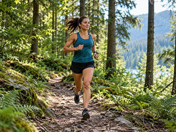
Plan training runs, long runs and race-preparation routes.
Measure the distance before you leave and check the route elevation so you know what to expect.
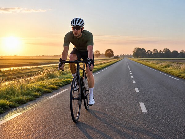
Cycling Routes
Plan road cycling, mountain biking, gravel and bike packing routes.
Distance and elevation can make a difference, so being able to study the route beforehand can help.
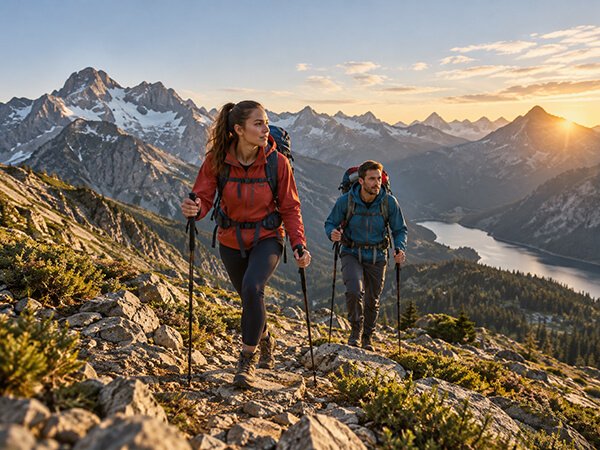
Hiking Routes
Plan hiking routes before heading onto the trail.
Check the total distance and elevation, and export the route for use with a compatible navigation device.
Mobility, Strength & Injury Prevention
Erase muscle tightness, knee, and hip pain with targeted mobility.
Dynamic Runner offers daily stretching videos, strength training, and injury specific programming all designed to correct muscle imbalance common to runners. Easy to follow, track your progress over time and experience results. Try 7 days for FREE!
Use the coupon “MMD” and get 10% off every payment!
Why Use Map My Distance as Your GPX Route Planner?
Instead of simply working with a file, you can visually build the journey you want to take.
Use MMD to:
Whether you are planning tomorrow morning’s walk or a major outdoor adventure, you can start with the same map.
Plan Now, Export When You’re Ready
Start by creating your route with Map My Distance.
Plan where you want to go, check the distance, study the elevation and save the route to your account.
When you need a GPX file for a compatible watch, GPS device or navigation app, upgrade to MMD Pro and export your route.
Create your next route for free with Map My Distance.