
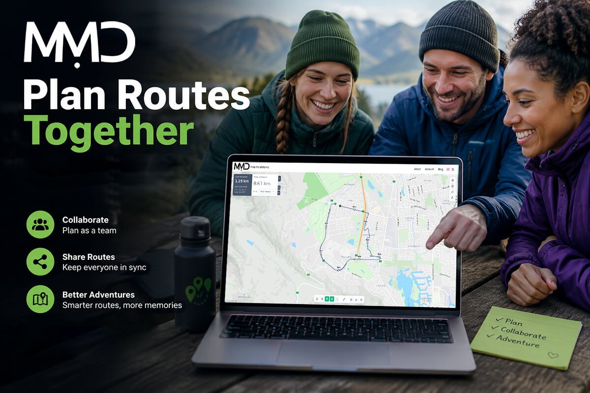
Whether you’re organising a weekend hike, planning a charity cycle, coordinating a running club, or preparing for a road trip, planning the perfect route is rarely a one-person job. Everyone has ideas, preferred roads or trails, and places they’d like to visit along the way.
That’s where collaborative route planning changes everything.
Instead of sending screenshots, sharing map links through multiple messaging apps, or asking one person to make every change, you can plan routes together in one place. With Map My Distance, creating, editing, and sharing routes becomes a simple, collaborative experience that helps everyone stay on the same page.
Why Collaborative Route Planning Matters
Planning routes as a group often becomes more complicated than expected.
One person wants a flatter route. Another prefers scenic roads. Someone else knows about a great coffee stop halfway through the ride. Before long, your group chat is full of screenshots, GPS pins, and conflicting suggestions.
A shared route planner solves this problem by allowing everyone to contribute to the same route. Rather than creating multiple versions, your group works together on a single route that everyone can access.
Whether you’re planning a quick morning run or a multi-day adventure, collaboration saves time and reduces confusion.
Who Can Benefit from Group Route Planning?
Collaborative route planning is useful for almost any outdoor activity.
Running Clubs
Running clubs often organise weekly training sessions, social runs, and race preparation. Instead of one organiser updating routes every week, club members can suggest changes, improve routes, and ensure everyone knows exactly where to meet and where the route goes.
Cycling Groups
Cyclists regularly plan routes based on distance, elevation, road quality, and rest stops. A collaborative approach makes it easy for multiple riders to recommend quieter roads, safer crossings, or more scenic climbs before the ride takes place.
Hiking Groups
Hiking routes often include viewpoints, campsites, water sources, and trail junctions. Planning together helps everyone prepare properly and ensures important landmarks aren’t overlooked.
Event Organisers
Whether you’re organising a charity run, community walk, cycling event, or trail race, group route planning allows organisers to refine routes before publishing them to participants.
Families and Friends
Even casual weekend adventures become easier when everyone can contribute ideas before heading out.
The Benefits of Planning Routes Together
Better Routes
Every member of your group brings local knowledge and experience. Someone might know about a scenic trail, a safer road, or a shortcut that improves the overall route.
The more people contribute, the better the final route becomes.
Save Time
Instead of repeatedly editing routes and sending new versions to your group, everyone works from the same route.
This keeps planning organised and eliminates unnecessary back-and-forth communication.
Fewer Mistakes
When several people review a route before the adventure begins, mistakes are easier to spot.
Incorrect turns, missing sections, dangerous roads, or unrealistic distances can all be identified before anyone heads outdoors.
Easier Communication
Using an online route planner means everyone has access to the latest version of the route.
There’s no confusion over which map link is current or whether someone is following an outdated version.
How Map My Distance Makes Collaboration Simple
Map My Distance is designed to make route planning straightforward while giving users powerful tools for creating detailed routes.
You can draw custom routes directly on an interactive map, measure distance as you build, and view elevation profiles to understand how challenging your route will be, then select to Save your Route to your profile, and in the Save modal you will see the options to Add Collaborators.
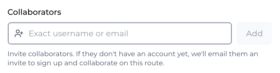
When working together, collaboration becomes even more valuable.
Your team can discuss improvements before finalising the route, helping everyone contribute to the planning process rather than relying on a single organiser.
Once complete, you can share routes with friends, training partners, family members, or event participants using a simple shareable link.
Instead of wondering where to go, everyone starts with the same route.
Add Important Stops Along the Way
A route isn’t just about getting from start to finish.
Many adventures include important locations such as:
- Water stations
- Cafés
- Meeting points
- Campsites
- Scenic viewpoints
- Rest areas
- Parking locations
- Checkpoints
Adding points of interest makes routes easier to follow and gives everyone useful information before they set off.
For longer adventures, these details can make all the difference.
Plan Smarter with Elevation
Distance only tells part of the story, you can work on pace and also make sure your route includes decent elevation.
A 15 km route with significant climbing is very different from a flat 15 km run or ride.
Using elevation profiles during collaborative route planning allows everyone to understand the terrain before heading out. This helps groups choose routes that match the fitness level and experience of all participants.
It’s also useful for race preparation, training sessions, and hiking trips where elevation can dramatically affect difficulty.
Share Routes with Confidence
After spending time creating the perfect route, sharing it should be effortless.
Map My Distance lets you share routes with friends so everyone has access to the same information.
Whether you’re sending the route to five people or five hundred participants, everyone receives the same route with the same distance, elevation, and planned path.
This reduces confusion on the day of your event and helps everyone enjoy the adventure.
Why an Online Route Planner Beats Traditional Maps
Paper maps and static screenshots still have their place, but modern adventures benefit from interactive planning tools.
An online route planner offers advantages including:
- Accurate route measurements
- Interactive maps
- Elevation profiles
- Route saving
- Easy sharing
- Collaborative planning
- Points of interest
- Access from anywhere
Instead of juggling multiple tools, everything is available in one platform.
Start Planning Your Next Adventure Together
Great adventures rarely happen by accident.
Whether you’re organising a weekend hike, leading a cycling group, preparing a marathon training route, or planning a charity event, planning routes together creates better experiences for everyone involved.
With Map My Distance, collaborative route planning is simple. Build routes on an interactive map, measure distance, analyse elevation, add points of interest, and share routes with friends so everyone is ready before the adventure begins.
The next time you’re planning an outdoor activity, don’t do it alone. Invite others to contribute, refine your route together, and create an adventure that’s safer, smarter, and more enjoyable for everyone.